The road to Sticklepath
Introduction
The photograph on this page of The road to Sticklepath by David Smith as part of the Geograph project.
The Geograph project started in 2005 with the aim of publishing, organising and preserving representative images for every square kilometre of Great Britain, Ireland and the Isle of Man.

There are currently over 7.5m images from over 14,400 individuals and you can help contribute to the project by visiting https://www.geograph.org.uk
The road to Sticklepath
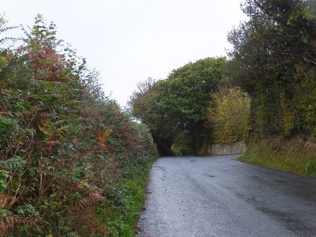
Image: © David Smith Taken: 12 Oct 2011
The road to Sticklepath from South Zeal passes over the ridge between the valleys of the Shelly Brook and the River Taw. This is the highest point of that road.
Images are licensed for reuse under creativecommons.org/licenses/by-sa/2.0
Image Location
Latitude
50.728216
Longitude
-3.917395