Faraday Wing, Southwark Bridge Road
Introduction
The photograph on this page of Faraday Wing, Southwark Bridge Road by Stephen Richards as part of the Geograph project.
The Geograph project started in 2005 with the aim of publishing, organising and preserving representative images for every square kilometre of Great Britain, Ireland and the Isle of Man.

There are currently over 7.5m images from over 14,400 individuals and you can help contribute to the project by visiting https://www.geograph.org.uk
Faraday Wing, Southwark Bridge Road
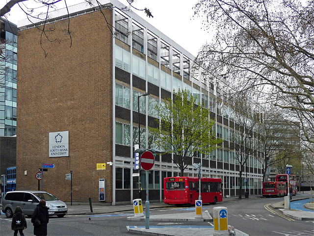
Image: © Stephen Richards Taken: 2 Apr 2011
Of London South Bank University. Built c1960.
Images are licensed for reuse under creativecommons.org/licenses/by-sa/2.0
Image Location
Latitude
51.497159
Longitude
-0.10054