Footbridge near Cranfield University
Introduction
The photograph on this page of Footbridge near Cranfield University by Robert Kerr as part of the Geograph project.
The Geograph project started in 2005 with the aim of publishing, organising and preserving representative images for every square kilometre of Great Britain, Ireland and the Isle of Man.

There are currently over 7.5m images from over 14,400 individuals and you can help contribute to the project by visiting https://www.geograph.org.uk
Footbridge near Cranfield University
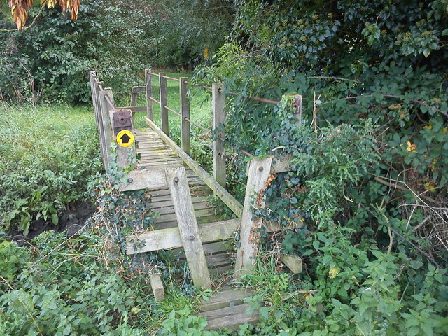
Image: © Robert Kerr Taken: 22 Sep 2011
A footbridge carries a public footpath over a stream on the edge of the Cranfield University site. The path itself leads roughly east-west, connecting Shire Lane to Wharley Farm.
Images are licensed for reuse under creativecommons.org/licenses/by-sa/2.0
Image Location
Latitude
52.079259
Longitude
-0.627994