The Gwarcefel Arms
Introduction
The photograph on this page of The Gwarcefel Arms by Stuart Logan as part of the Geograph project.
The Geograph project started in 2005 with the aim of publishing, organising and preserving representative images for every square kilometre of Great Britain, Ireland and the Isle of Man.

There are currently over 7.5m images from over 14,400 individuals and you can help contribute to the project by visiting https://www.geograph.org.uk
The Gwarcefel Arms
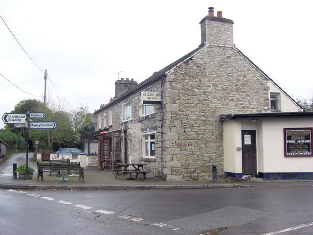
Image: © Stuart Logan Taken: 5 Oct 2011
Five roads meet beside this pub: A475, B4476 and two un-named local lanes. Should be good for the passing trade!
Images are licensed for reuse under creativecommons.org/licenses/by-sa/2.0
Image Location


Leaflet Map data © OpenStreetMap
Latitude
52.073515
Longitude
-4.299928