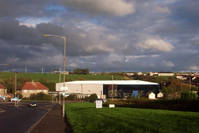
The Hangar, Carluke
Introduction
The photograph on this page of The Hangar, Carluke by Stuart Brooks as part of the Geograph project.
The Geograph project started in 2005 with the aim of publishing, organising and preserving representative images for every square kilometre of Great Britain, Ireland and the Isle of Man.
There are currently over 7.5m images from over 14,400 individuals and you can help contribute to the project by visiting https://www.geograph.org.uk

Image: © Stuart Brooks Taken: 21 Oct 2006
This building had recently been vacated by a double-glazing firm and the site was bought by a developer. A supermarket chain unsuccessfully applied to build on the site, but the developer has subsequently decided to demolish the hangar as it had become the target of vandals. Few would have suspected that the double glazing factory had been a wartime hangar, which was used to store downed planes during the second World War. The only propellers now visible at the site are those of the Black Law windfarm in the background.

