Stockhouse Farmhouse
Introduction
The photograph on this page of Stockhouse Farmhouse by Robert Edwards as part of the Geograph project.
The Geograph project started in 2005 with the aim of publishing, organising and preserving representative images for every square kilometre of Great Britain, Ireland and the Isle of Man.

There are currently over 7.5m images from over 14,400 individuals and you can help contribute to the project by visiting https://www.geograph.org.uk
Stockhouse Farmhouse
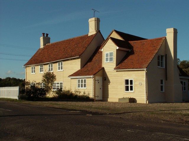
Image: © Robert Edwards Taken: 20 Oct 2006
This farmhouse was up for sale when this photo was taken and it is probably no longer part of a farm judging by the new extension on the right.
Images are licensed for reuse under creativecommons.org/licenses/by-sa/2.0
Image Location
Latitude
51.82233
Longitude
0.780176