12 - 14 Chequer Street
Introduction
The photograph on this page of 12 - 14 Chequer Street by Ian Capper as part of the Geograph project.
The Geograph project started in 2005 with the aim of publishing, organising and preserving representative images for every square kilometre of Great Britain, Ireland and the Isle of Man.

There are currently over 7.5m images from over 14,400 individuals and you can help contribute to the project by visiting https://www.geograph.org.uk
12 - 14 Chequer Street
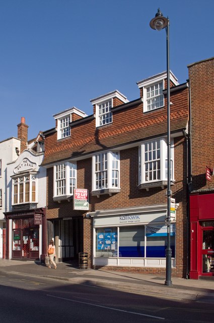
Image: © Ian Capper Taken: 2 Oct 2011
No 12, on the right is a modern building, while No 14, the former Bat and Ball pub is much older, dating originally from the 16th century. It is grade II listed - for listing particulars see www.historicengland.org.uk/listing/the-list/list-entry/1347180.
Images are licensed for reuse under creativecommons.org/licenses/by-sa/2.0
Image Location
Latitude
51.751368
Longitude
-0.339385