Bracken, footpath signs, Stubbing Lane
Introduction
The photograph on this page of Bracken, footpath signs, Stubbing Lane by Peter Barr as part of the Geograph project.
The Geograph project started in 2005 with the aim of publishing, organising and preserving representative images for every square kilometre of Great Britain, Ireland and the Isle of Man.

There are currently over 7.5m images from over 14,400 individuals and you can help contribute to the project by visiting https://www.geograph.org.uk
Bracken, footpath signs, Stubbing Lane
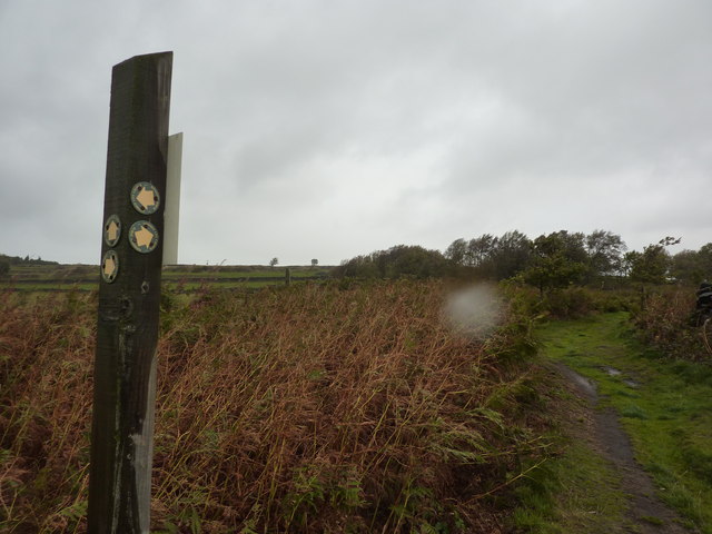
Image: © Peter Barr Taken: 10 Oct 2011
A small area of bracken land, with oak trees, between Stubbing Lane and Myers Lane, south of Worrall.
Images are licensed for reuse under creativecommons.org/licenses/by-sa/2.0
Image Location
Latitude
53.418561
Longitude
-1.55173