Former club, Millendreath
Introduction
The photograph on this page of Former club, Millendreath by Derek Harper as part of the Geograph project.
The Geograph project started in 2005 with the aim of publishing, organising and preserving representative images for every square kilometre of Great Britain, Ireland and the Isle of Man.

There are currently over 7.5m images from over 14,400 individuals and you can help contribute to the project by visiting https://www.geograph.org.uk
Former club, Millendreath
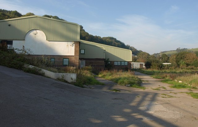
Image: © Derek Harper Taken: 2 Oct 2011
See Image; this building is due to be demolished and replaced with a new multi-purpose clubhouse and reception office building. The coast path begins its climb to Plaidy on the left.
Images are licensed for reuse under creativecommons.org/licenses/by-sa/2.0
Image Location


Leaflet Map data © OpenStreetMap
Latitude
50.361704
Longitude
-4.436606