2011 : West of south from Bowermead Lane
Introduction
The photograph on this page of 2011 : West of south from Bowermead Lane by Maurice Pullin as part of the Geograph project.
The Geograph project started in 2005 with the aim of publishing, organising and preserving representative images for every square kilometre of Great Britain, Ireland and the Isle of Man.

There are currently over 7.5m images from over 14,400 individuals and you can help contribute to the project by visiting https://www.geograph.org.uk
2011 : West of south from Bowermead Lane
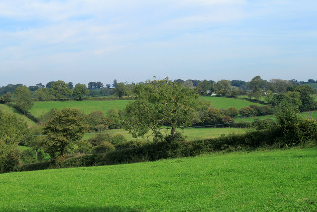
Image: © Maurice Pullin Taken: 1 Oct 2011
In the general direction of Pilton. Not much stock around, these fields are probably kept for hay or silage.
Images are licensed for reuse under creativecommons.org/licenses/by-sa/2.0
Image Location
Latitude
51.169046
Longitude
-2.581218