Footpath below Woodhouse Hill
Introduction
The photograph on this page of Footpath below Woodhouse Hill by Trevor Harris as part of the Geograph project.
The Geograph project started in 2005 with the aim of publishing, organising and preserving representative images for every square kilometre of Great Britain, Ireland and the Isle of Man.

There are currently over 7.5m images from over 14,400 individuals and you can help contribute to the project by visiting https://www.geograph.org.uk
Footpath below Woodhouse Hill
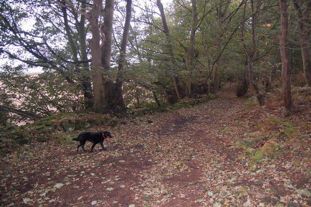
Image: © Trevor Harris Taken: 8 Oct 2011
At this point the path through the woodland at the bottom of the ridge runs parallel to Tarvin Road.
Images are licensed for reuse under creativecommons.org/licenses/by-sa/2.0
Image Location
Latitude
53.278874
Longitude
-2.737528