Greenbank, Cullivoe
Introduction
The photograph on this page of Greenbank, Cullivoe by Mike Pennington as part of the Geograph project.
The Geograph project started in 2005 with the aim of publishing, organising and preserving representative images for every square kilometre of Great Britain, Ireland and the Isle of Man.

There are currently over 7.5m images from over 14,400 individuals and you can help contribute to the project by visiting https://www.geograph.org.uk
Greenbank, Cullivoe
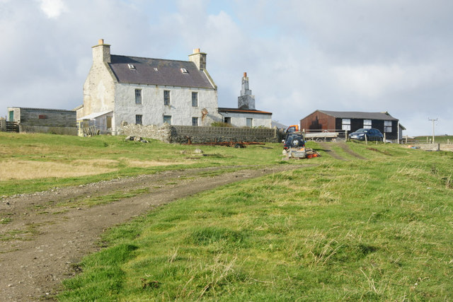
Image: © Mike Pennington Taken: 10 Oct 2011
This appears to be the original Greenbank, with the area and the nearby council houses named after it.
Images are licensed for reuse under creativecommons.org/licenses/by-sa/2.0
Image Location
Latitude
60.716046
Longitude
-1.014636