Knockdene Park, Belfast
Introduction
The photograph on this page of Knockdene Park, Belfast by Albert Bridge as part of the Geograph project.
The Geograph project started in 2005 with the aim of publishing, organising and preserving representative images for every square kilometre of Great Britain, Ireland and the Isle of Man.

There are currently over 7.5m images from over 14,400 individuals and you can help contribute to the project by visiting https://www.geograph.org.uk
Knockdene Park, Belfast
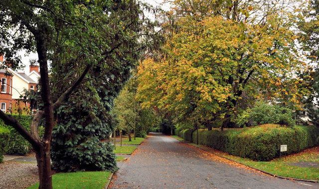
Image: © Albert Bridge Taken: 10 Oct 2011
A tree-lined street, built circa 1909, running from the Upper Newtownards Road (behind me) to the King’s Road Image Enhanced today by autumn colours
Images are licensed for reuse under creativecommons.org/licenses/by-sa/2.0
Image Location
Latitude
54.59258
Longitude
-5.853877