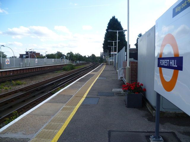
Forest Hill station
Introduction
The photograph on this page of Forest Hill station by Marathon as part of the Geograph project.
The Geograph project started in 2005 with the aim of publishing, organising and preserving representative images for every square kilometre of Great Britain, Ireland and the Isle of Man.
There are currently over 7.5m images from over 14,400 individuals and you can help contribute to the project by visiting https://www.geograph.org.uk

Image: © Marathon Taken: 21 Sep 2011
The railway here follows the line of the Croydon Canal which ran for nearly ten miles from Croydon, via Forest Hill, to the Grand Surrey Canal at New Cross. It opened in 1809, and closed in 1836, making it the first canal to be formally abandoned by an Act of Parliament. Much of the alignment was used by the London & Croydon Railway Company (to whom the canal had been sold for £40,250). The station was opened by the original London & Croydon Railway in 1839 as Dartmouth Arms after the name of the local inn. The line was also used by the London & Brighton Railway from 1841 and the South Eastern Railway from 1842. In 1844, the station was chosen by the London & Croydon Railway as the northern terminus for Phase 1 of an experimental Atmospheric railway to West Croydon operated by the railway. In 1847, 'Atmospheric' working was abandoned, and the station became Forest Hill for Lordship Lane. In the early 1850s, the line was quadrupled. The London Brighton & South Coast Railway station buildings, were destroyed by bombing during the Second World World. London Overground trains now operate from the station, as well as Southern trains.

