The former Rose and Thistle Public House, Camberwell
Introduction
The photograph on this page of The former Rose and Thistle Public House, Camberwell by David Anstiss as part of the Geograph project.
The Geograph project started in 2005 with the aim of publishing, organising and preserving representative images for every square kilometre of Great Britain, Ireland and the Isle of Man.

There are currently over 7.5m images from over 14,400 individuals and you can help contribute to the project by visiting https://www.geograph.org.uk
The former Rose and Thistle Public House, Camberwell
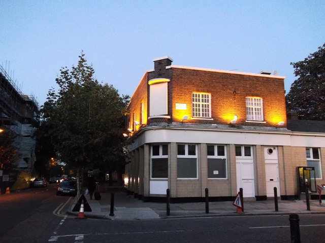
Image: © David Anstiss Taken: 2 Oct 2011
This closed and converted pub is on the junction of Warner Road (on the left) and Lowth Road (on the right). Was still a pub in 2006. With a nice pub sign. See http://www.flickr.com/photos/markdodds/97556313/. Now flats.
Images are licensed for reuse under creativecommons.org/licenses/by-sa/2.0
Image Location
Latitude
51.472291
Longitude
-0.097542