Footpath and Topped Trees
Introduction
The photograph on this page of Footpath and Topped Trees by Michael Patterson as part of the Geograph project.
The Geograph project started in 2005 with the aim of publishing, organising and preserving representative images for every square kilometre of Great Britain, Ireland and the Isle of Man.

There are currently over 7.5m images from over 14,400 individuals and you can help contribute to the project by visiting https://www.geograph.org.uk
Footpath and Topped Trees
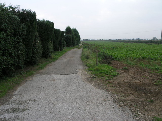
Image: © Michael Patterson Taken: 16 Oct 2006
The trees by the side of this footpath to Stainfortth have had their tops removed.
Images are licensed for reuse under creativecommons.org/licenses/by-sa/2.0
Image Location
Latitude
53.594426
Longitude
-1.040546