B3247 in Downderry
Introduction
The photograph on this page of B3247 in Downderry by Derek Harper as part of the Geograph project.
The Geograph project started in 2005 with the aim of publishing, organising and preserving representative images for every square kilometre of Great Britain, Ireland and the Isle of Man.

There are currently over 7.5m images from over 14,400 individuals and you can help contribute to the project by visiting https://www.geograph.org.uk
B3247 in Downderry
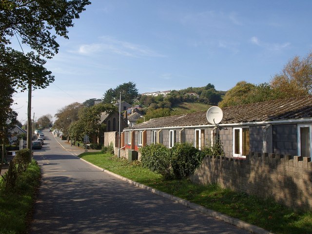
Image: © Derek Harper Taken: 2 Oct 2011
A scene near the eastern edge of Downderry. Main Road is just passing the school on the left. On the immediate right are Coombe Park Bungalows. Just past the junction is the church more clearly shown in Image Alternative routes exist for the South West Coast Path from here. A low tide route leaves the road past the school and uses the beach for a mile to Seaton. Or you can follow the B road through the centre of Downderry. We went left.
Images are licensed for reuse under creativecommons.org/licenses/by-sa/2.0
Image Location
Latitude
50.361477
Longitude
-4.364883