The Line to Grimsby Docks
Introduction
The photograph on this page of The Line to Grimsby Docks by David Wright as part of the Geograph project.
The Geograph project started in 2005 with the aim of publishing, organising and preserving representative images for every square kilometre of Great Britain, Ireland and the Isle of Man.

There are currently over 7.5m images from over 14,400 individuals and you can help contribute to the project by visiting https://www.geograph.org.uk
The Line to Grimsby Docks
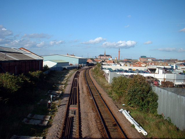
Image: © David Wright Taken: 21 Oct 2006
Picture taken from the footbridge running from King Edward Street (West) to Railway Street (East). The Customs House and Dock Tower can be seen on the centre horizon. Judging by the sleepers and rails lying by track some renewal is in progress.
Images are licensed for reuse under creativecommons.org/licenses/by-sa/2.0
Image Location
Latitude
53.571142
Longitude
-0.077574