Trooperslane station, Carrickfergus (2)
Introduction
The photograph on this page of Trooperslane station, Carrickfergus (2) by Albert Bridge as part of the Geograph project.
The Geograph project started in 2005 with the aim of publishing, organising and preserving representative images for every square kilometre of Great Britain, Ireland and the Isle of Man.

There are currently over 7.5m images from over 14,400 individuals and you can help contribute to the project by visiting https://www.geograph.org.uk
Trooperslane station, Carrickfergus (2)
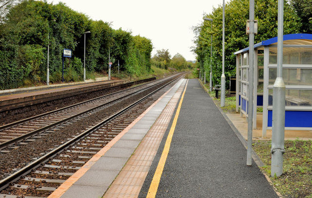
Image: © Albert Bridge Taken: 9 Oct 2011
Trooperslane station, looking towards Carrickfergus and Larne Harbour. The passenger shelter (right) replaced the original Berkeley Deane Wise building Image The platforms will probably be lengthened (as at Downshire Image) to accommodate new rolling stock. Image shows a similar view in 1979.
Images are licensed for reuse under creativecommons.org/licenses/by-sa/2.0
Image Location
Latitude
54.710205
Longitude
-5.849374