Embankment between Bridgeman Road and Radford Road
Introduction
The photograph on this page of Embankment between Bridgeman Road and Radford Road by starkderrick as part of the Geograph project.
The Geograph project started in 2005 with the aim of publishing, organising and preserving representative images for every square kilometre of Great Britain, Ireland and the Isle of Man.

There are currently over 7.5m images from over 14,400 individuals and you can help contribute to the project by visiting https://www.geograph.org.uk
Embankment between Bridgeman Road and Radford Road
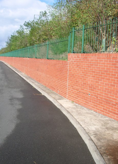
Image: © starkderrick Taken: 7 Oct 2011
Between July 2005 and December 2005 the embankment between these two roads was stabilised and the retaining wall built. The trees and shrubs were planted as part of the works. Radford road was closed to vehicles for this period. The works cost £2.2m and were funded from central government. A streetlamp on Radford Road (which is higher than Bridgeman Road) can be seen against the sky. Bridgeman Road is the area of tarmac in the photo.
Images are licensed for reuse under creativecommons.org/licenses/by-sa/2.0
Image Location
Latitude
52.417822
Longitude
-1.517978