Eilean Orasaigh
Introduction
The photograph on this page of Eilean Orasaigh by Colin Smith as part of the Geograph project.
The Geograph project started in 2005 with the aim of publishing, organising and preserving representative images for every square kilometre of Great Britain, Ireland and the Isle of Man.

There are currently over 7.5m images from over 14,400 individuals and you can help contribute to the project by visiting https://www.geograph.org.uk
Eilean Orasaigh
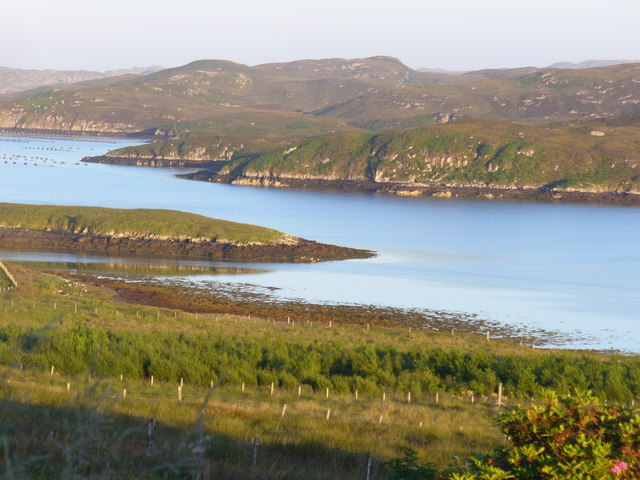
Image: © Colin Smith Taken: 26 Jul 2011
The western tip of the elongated island is visible. It is close to the northern shore (the populated side) of Loch Liurboist.
Images are licensed for reuse under creativecommons.org/licenses/by-sa/2.0
Image Location


Leaflet Map data © OpenStreetMap
Latitude
58.138565
Longitude
-6.475156