Greenway bridge, Crackley
Introduction
The photograph on this page of Greenway bridge, Crackley by E Gammie as part of the Geograph project.
The Geograph project started in 2005 with the aim of publishing, organising and preserving representative images for every square kilometre of Great Britain, Ireland and the Isle of Man.

There are currently over 7.5m images from over 14,400 individuals and you can help contribute to the project by visiting https://www.geograph.org.uk
Greenway bridge, Crackley
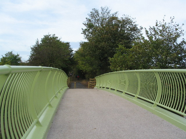
Image: © E Gammie Taken: 9 Oct 2011
The new foot and cycle bridge taking the Kenilworth Greenway over the A429 at Crackley opened at the end of September 2011. See also http://www.geograph.org.uk/photo/2616716
Images are licensed for reuse under creativecommons.org/licenses/by-sa/2.0
Image Location
Latitude
52.35903
Longitude
-1.565312