Townsend Drive
Introduction
The photograph on this page of Townsend Drive by Ian Capper as part of the Geograph project.
The Geograph project started in 2005 with the aim of publishing, organising and preserving representative images for every square kilometre of Great Britain, Ireland and the Isle of Man.

There are currently over 7.5m images from over 14,400 individuals and you can help contribute to the project by visiting https://www.geograph.org.uk
Townsend Drive
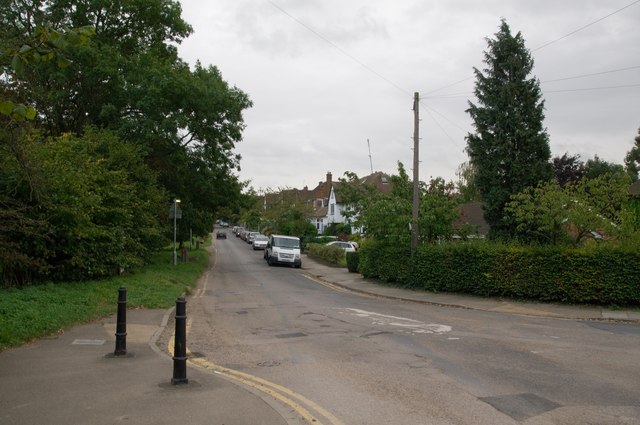
Image: © Ian Capper Taken: 22 Sep 2011
Developed in the 1930s or so, although the road is shown on late 19th century maps (as Townsend Road). On the left is part of Bernard's Heath.
Images are licensed for reuse under creativecommons.org/licenses/by-sa/2.0
Image Location
Latitude
51.760388
Longitude
-0.336286