Marshal's Drive
Introduction
The photograph on this page of Marshal's Drive by Ian Capper as part of the Geograph project.
The Geograph project started in 2005 with the aim of publishing, organising and preserving representative images for every square kilometre of Great Britain, Ireland and the Isle of Man.

There are currently over 7.5m images from over 14,400 individuals and you can help contribute to the project by visiting https://www.geograph.org.uk
Marshal's Drive
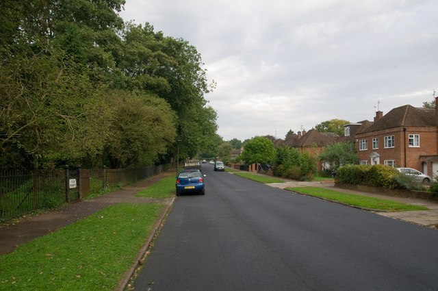
Image: © Ian Capper Taken: 16 Sep 2011
Built on part of the original driveway for Marshalswick, a large house dating from the 18th century and demolished in 1927 at the start of the development of the area, including this road. On the left is The Wick, a surviving area of semi-natural ancient woodland, originally called Homewood, and now a local nature reserve (see Image).
Images are licensed for reuse under creativecommons.org/licenses/by-sa/2.0
Image Location
Latitude
51.76295
Longitude
-0.309746