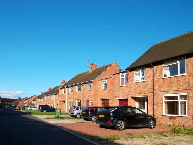
Barley Close, Wallingford
Introduction
The photograph on this page of Barley Close, Wallingford by Des Blenkinsopp as part of the Geograph project.
The Geograph project started in 2005 with the aim of publishing, organising and preserving representative images for every square kilometre of Great Britain, Ireland and the Isle of Man.
There are currently over 7.5m images from over 14,400 individuals and you can help contribute to the project by visiting https://www.geograph.org.uk

Image: © Des Blenkinsopp Taken: 6 Oct 2011
Just an ordinary residential street, but the name recalls the large malting works that used to be on the other side of the road and was the reason the old Wallingford rail line, now preserved as the Cholsey and Wallingford Railway, survived closure to passengers. When the maltings closed the main building was blown up by the demolishers in a controlled explosion watched by half the town. New housing is now on the site.

