Lodge
Introduction
The photograph on this page of Lodge by Bill Harrison as part of the Geograph project.
The Geograph project started in 2005 with the aim of publishing, organising and preserving representative images for every square kilometre of Great Britain, Ireland and the Isle of Man.

There are currently over 7.5m images from over 14,400 individuals and you can help contribute to the project by visiting https://www.geograph.org.uk
Lodge
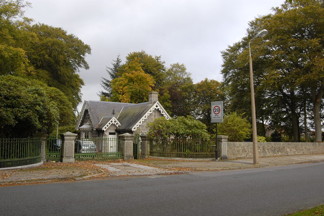
Image: © Bill Harrison Taken: 8 Oct 2011
The drive once led to the James Hutton Institute http://www.hutton.ac.uk/ , formerly known as the Macaulay Land Use Institute.
Images are licensed for reuse under creativecommons.org/licenses/by-sa/2.0
Image Location
Latitude
57.131861
Longitude
-2.154275