Brownfield site, Govanhill
Introduction
The photograph on this page of Brownfield site, Govanhill by Richard Webb as part of the Geograph project.
The Geograph project started in 2005 with the aim of publishing, organising and preserving representative images for every square kilometre of Great Britain, Ireland and the Isle of Man.

There are currently over 7.5m images from over 14,400 individuals and you can help contribute to the project by visiting https://www.geograph.org.uk
Brownfield site, Govanhill
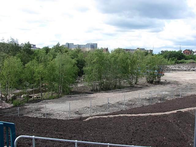
Image: © Richard Webb Taken: 29 Jun 2011
Woodland taking over industrial land beside the new M74 motorway.
Images are licensed for reuse under creativecommons.org/licenses/by-sa/2.0
Image Location
Latitude
55.84227
Longitude
-4.256853