The end of Fairhills Road, Irlam
Introduction
The photograph on this page of The end of Fairhills Road, Irlam by Bill Boaden as part of the Geograph project.
The Geograph project started in 2005 with the aim of publishing, organising and preserving representative images for every square kilometre of Great Britain, Ireland and the Isle of Man.

There are currently over 7.5m images from over 14,400 individuals and you can help contribute to the project by visiting https://www.geograph.org.uk
The end of Fairhills Road, Irlam
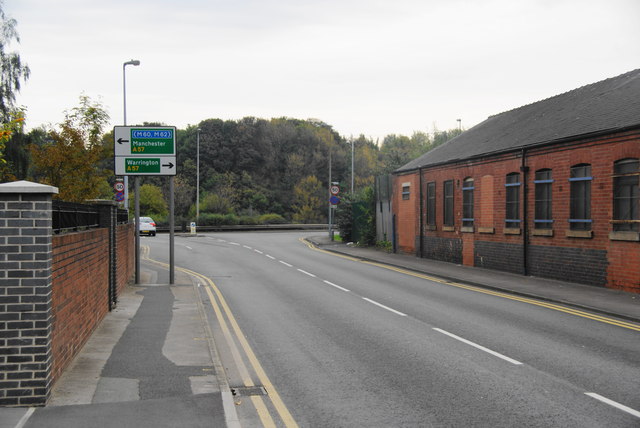
Image: © Bill Boaden Taken: 2 Oct 2011
It meets the A57 on its new route bypassing the centre of Irlam and Cadishead.
Images are licensed for reuse under creativecommons.org/licenses/by-sa/2.0
Image Location
Latitude
53.440075
Longitude
-2.414095