Grove Road N12
Introduction
The photograph on this page of Grove Road N12 by Martin Addison as part of the Geograph project.
The Geograph project started in 2005 with the aim of publishing, organising and preserving representative images for every square kilometre of Great Britain, Ireland and the Isle of Man.

There are currently over 7.5m images from over 14,400 individuals and you can help contribute to the project by visiting https://www.geograph.org.uk
Grove Road N12
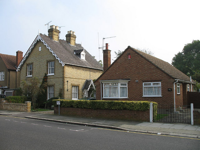
Image: © Martin Addison Taken: 16 Oct 2006
Contrasting houses on Grove Road. The nearest is a modern bungalow whilst its ornate neighbour, built in 1862, resembles a railway station building with all its finials. The nearby Woodside Park station uses much the same style of straw coloured bricks, as do many of the older housing developments in the area.
Images are licensed for reuse under creativecommons.org/licenses/by-sa/2.0
Image Location
Latitude
51.614401
Longitude
-0.172925