Percy Road N12
Introduction
The photograph on this page of Percy Road N12 by Martin Addison as part of the Geograph project.
The Geograph project started in 2005 with the aim of publishing, organising and preserving representative images for every square kilometre of Great Britain, Ireland and the Isle of Man.

There are currently over 7.5m images from over 14,400 individuals and you can help contribute to the project by visiting https://www.geograph.org.uk
Percy Road N12
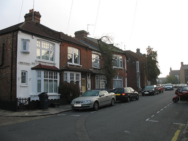
Image: © Martin Addison Taken: 16 Oct 2006
Terraced housing at the west end of Percy Road, where it connects with Church Path. The houses in the centre sit at an unusual angle to each other, presumably to deal with the bend in the road. The sun has yet to burn off the mist on this chilly October morning.
Images are licensed for reuse under creativecommons.org/licenses/by-sa/2.0
Image Location
Latitude
51.615434
Longitude
-0.18155