Footpath 1912 from Emms Lane
Introduction
The photograph on this page of Footpath 1912 from Emms Lane by Andy Potter as part of the Geograph project.
The Geograph project started in 2005 with the aim of publishing, organising and preserving representative images for every square kilometre of Great Britain, Ireland and the Isle of Man.

There are currently over 7.5m images from over 14,400 individuals and you can help contribute to the project by visiting https://www.geograph.org.uk
Footpath 1912 from Emms Lane
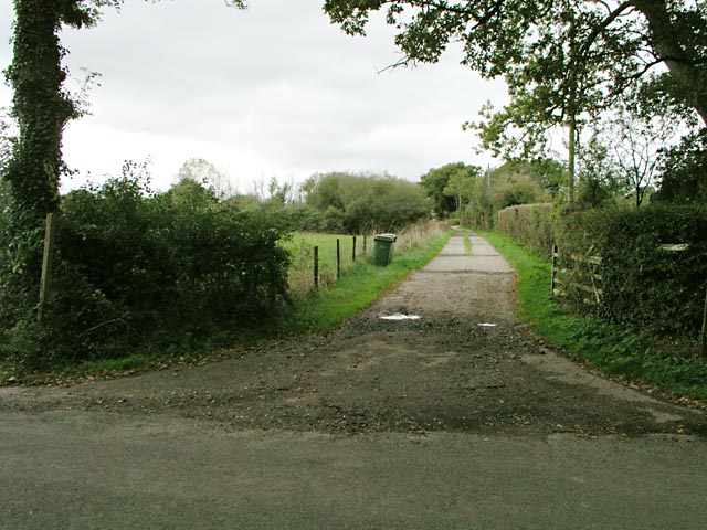
Image: © Andy Potter Taken: 20 Oct 2006
The footpath follows the drive of Bouges Farm and, continuing south west on Bridleway 1911, brings you to Image on Footpath 1912/1.
Images are licensed for reuse under creativecommons.org/licenses/by-sa/2.0
Image Location
Latitude
51.015438
Longitude
-0.396447