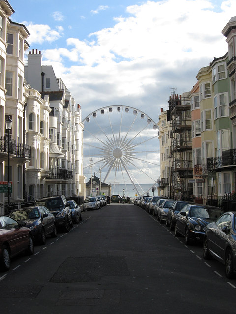
Madeira Place
Introduction
The photograph on this page of Madeira Place by Simon Carey as part of the Geograph project.
The Geograph project started in 2005 with the aim of publishing, organising and preserving representative images for every square kilometre of Great Britain, Ireland and the Isle of Man.
There are currently over 7.5m images from over 14,400 individuals and you can help contribute to the project by visiting https://www.geograph.org.uk

Image: © Simon Carey Taken: 7 Oct 2011
Originally the site of a detached villa called Jermyn Place built in the 1780s that was later developed into a street called German Place in the mid 1790s as the land became too valuable to use for single houses with extensive gardens. The road name was changed to its present one in 1914 during the bout of patriotic hysteria that accompanied the start of World War One. At the far end of the street is the Brighton Wheel which is currently in the process of being built in readiness for an opening towards the end of October.

