Grosvenor Street
Introduction
The photograph on this page of Grosvenor Street by Simon Carey as part of the Geograph project.
The Geograph project started in 2005 with the aim of publishing, organising and preserving representative images for every square kilometre of Great Britain, Ireland and the Isle of Man.

There are currently over 7.5m images from over 14,400 individuals and you can help contribute to the project by visiting https://www.geograph.org.uk
Grosvenor Street
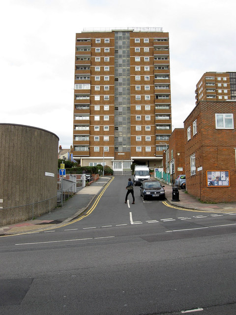
Image: © Simon Carey Taken: 7 Oct 2011
Viewed from the junction with Edward Street with Tyson Place, the large block of flats at the end of the truncated street. The street was largely demolished in the late 1950s in tandem with the widening of Edward Street at the beginning of the following decade. On the left is part of the National Spiritualist Church built as a figure of eight in 1964 whilst to the right is Brighton Youth Centre originally founded as the Brighton Boys club in 1917 down the road in John Street. This new building was opened in 1957.
Images are licensed for reuse under creativecommons.org/licenses/by-sa/2.0
Image Location
Latitude
50.822452
Longitude
-0.130892