2011 : Farm buildings and track on Knook Horse Hill
Introduction
The photograph on this page of 2011 : Farm buildings and track on Knook Horse Hill by Maurice Pullin as part of the Geograph project.
The Geograph project started in 2005 with the aim of publishing, organising and preserving representative images for every square kilometre of Great Britain, Ireland and the Isle of Man.

There are currently over 7.5m images from over 14,400 individuals and you can help contribute to the project by visiting https://www.geograph.org.uk
2011 : Farm buildings and track on Knook Horse Hill
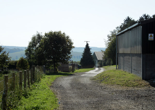
Image: © Maurice Pullin Taken: 30 Sep 2011
At this point the rough track becomes a metalled road leading down to Upton Folly on the A36. One of the fence posts appears to be a recycled railway sleeper. Hills in the distance are on the other side of the Wylye Valley.
Images are licensed for reuse under creativecommons.org/licenses/by-sa/2.0
Image Location
Latitude
51.174245
Longitude
-2.07233