Gorsaf D?n Caernarfon Fire Station
Introduction
The photograph on this page of Gorsaf D?n Caernarfon Fire Station by Eric Jones as part of the Geograph project.
The Geograph project started in 2005 with the aim of publishing, organising and preserving representative images for every square kilometre of Great Britain, Ireland and the Isle of Man.

There are currently over 7.5m images from over 14,400 individuals and you can help contribute to the project by visiting https://www.geograph.org.uk
Gorsaf D?n Caernarfon Fire Station
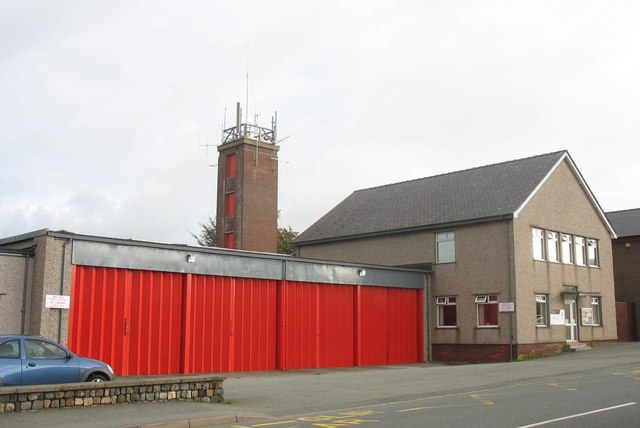
Image: © Eric Jones Taken: 20 Oct 2006
The present building was erected in 1963. The station has two full-time watches with 16 firefighters backed up by two retained-watches also with 16 firefighters. The station covers an area of 96 square miles with a low season population of 35,000 and areas of high risk include Caernarfon Airport
Images are licensed for reuse under creativecommons.org/licenses/by-sa/2.0
Image Location
Latitude
53.140749
Longitude
-4.2664