Staynall
Introduction
The photograph on this page of Staynall by Chris Heaton as part of the Geograph project.
The Geograph project started in 2005 with the aim of publishing, organising and preserving representative images for every square kilometre of Great Britain, Ireland and the Isle of Man.

There are currently over 7.5m images from over 14,400 individuals and you can help contribute to the project by visiting https://www.geograph.org.uk
Staynall
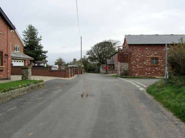
Image: © Chris Heaton Taken: 5 Oct 2011
Small village on the eastern side of the Wyre Estuary.
Images are licensed for reuse under creativecommons.org/licenses/by-sa/2.0
Image Location
Latitude
53.887057
Longitude
-2.97398