River Forth near Old Mills Farm [7]
Introduction
The photograph on this page of River Forth near Old Mills Farm [7] by Robert Murray as part of the Geograph project.
The Geograph project started in 2005 with the aim of publishing, organising and preserving representative images for every square kilometre of Great Britain, Ireland and the Isle of Man.

There are currently over 7.5m images from over 14,400 individuals and you can help contribute to the project by visiting https://www.geograph.org.uk
River Forth near Old Mills Farm [7]
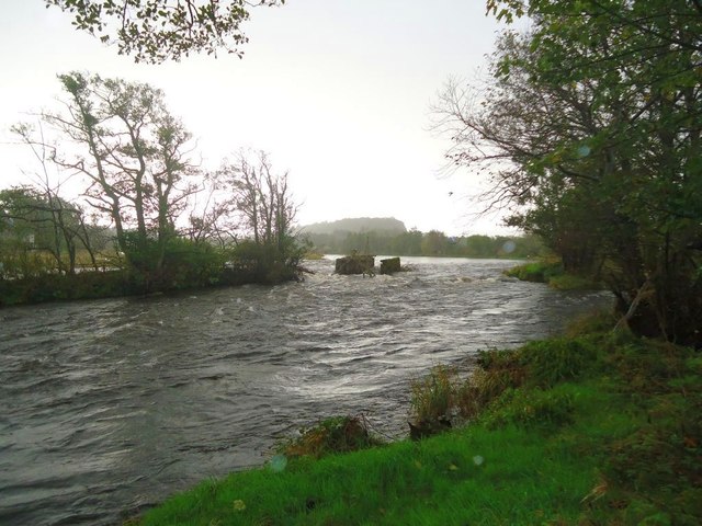
Image: © Robert Murray Taken: 6 Oct 2011
According to the first survey of 1861 (pub. 1865) Sheet X.15 (St. Ninians) http://maps.nls.uk/os/25inch/view/?sid=74984133 this may have been the gates of a salmon ladder. The same map places the old mill dam about 100m upstream remains of which can be seen at low water. See also Image and Image
Images are licensed for reuse under creativecommons.org/licenses/by-sa/2.0
Image Location


Leaflet Map data © OpenStreetMap
Latitude
56.139122
Longitude
-3.967766