The Church of the Good Shepherd. Upper Clapton
Introduction
The photograph on this page of The Church of the Good Shepherd. Upper Clapton by Richard Dunn as part of the Geograph project.
The Geograph project started in 2005 with the aim of publishing, organising and preserving representative images for every square kilometre of Great Britain, Ireland and the Isle of Man.

There are currently over 7.5m images from over 14,400 individuals and you can help contribute to the project by visiting https://www.geograph.org.uk
The Church of the Good Shepherd. Upper Clapton
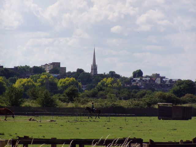
Image: © Richard Dunn Taken: 25 Jul 2009
The Church of the Good Shepherd is in Rookwood Road London N16 and was used by the Ancient Catholic Church. Now it is used by the Georgian Orthodox Church. Built in 1892 as the Church of the Ark of the Covenant. The shot was taken from Walthamstow Marshes by the Riding School.
Images are licensed for reuse under creativecommons.org/licenses/by-sa/2.0
Image Location
Latitude
51.573316
Longitude
-0.066917