Carrigans Lough
Introduction
The photograph on this page of Carrigans Lough by Ron Murray as part of the Geograph project.
The Geograph project started in 2005 with the aim of publishing, organising and preserving representative images for every square kilometre of Great Britain, Ireland and the Isle of Man.

There are currently over 7.5m images from over 14,400 individuals and you can help contribute to the project by visiting https://www.geograph.org.uk
Carrigans Lough
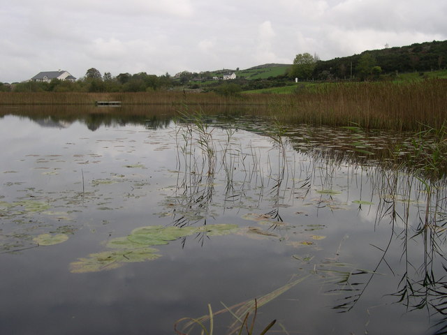
Image: © Ron Murray Taken: 20 Oct 2006
One of the smaller lakes in a series between the Ring of Gullion Ring Dyke
Images are licensed for reuse under creativecommons.org/licenses/by-sa/2.0
Image Location
Latitude
54.115578
Longitude
-6.525074