Old Sarum Airfield
Introduction
The photograph on this page of Old Sarum Airfield by phil smith as part of the Geograph project.
The Geograph project started in 2005 with the aim of publishing, organising and preserving representative images for every square kilometre of Great Britain, Ireland and the Isle of Man.

There are currently over 7.5m images from over 14,400 individuals and you can help contribute to the project by visiting https://www.geograph.org.uk
Old Sarum Airfield
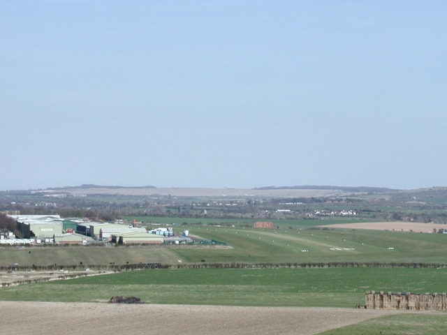
Image: © phil smith Taken: 31 Mar 2003
The airfield was a military base from 1917 to 1981 and has the oldest operational hangars in the country.
Images are licensed for reuse under creativecommons.org/licenses/by-sa/2.0
Image Location
Latitude
51.100597
Longitude
-1.780012