River Wandle from the Wandle Trail
Introduction
The photograph on this page of River Wandle from the Wandle Trail by Marathon as part of the Geograph project.
The Geograph project started in 2005 with the aim of publishing, organising and preserving representative images for every square kilometre of Great Britain, Ireland and the Isle of Man.

There are currently over 7.5m images from over 14,400 individuals and you can help contribute to the project by visiting https://www.geograph.org.uk
River Wandle from the Wandle Trail
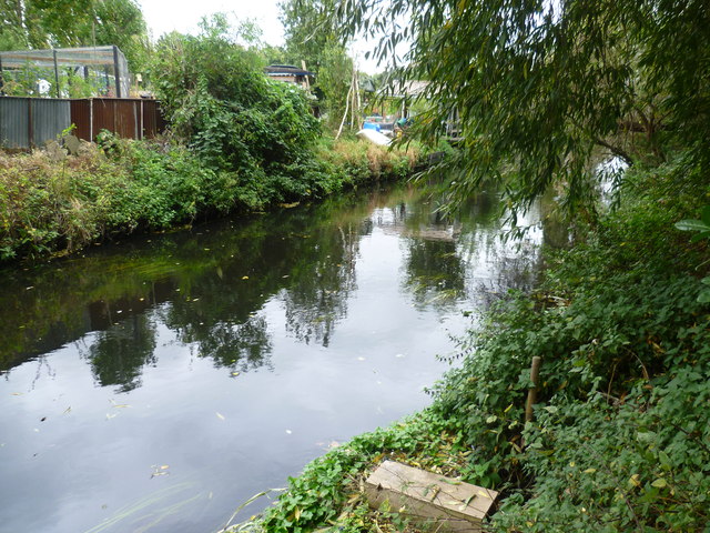
Image: © Marathon Taken: 5 Oct 2011
The section of the Wandle Trail alongside the River Wandle between Trewint Street bridge and Plough Lane is largely surrounded by light industry as well as some allotments. Unfortunately, there is also a fair amount of dumped rubbish, especially in this northern section. This view looks across the river to the northern edge of the allotments alongside Garratt Park.
Images are licensed for reuse under creativecommons.org/licenses/by-sa/2.0
Image Location
Latitude
51.43643
Longitude
-0.189675