"The Oaks" Sign
Introduction
The photograph on this page of "The Oaks" Sign by Andrew Tatlow as part of the Geograph project.
The Geograph project started in 2005 with the aim of publishing, organising and preserving representative images for every square kilometre of Great Britain, Ireland and the Isle of Man.

There are currently over 7.5m images from over 14,400 individuals and you can help contribute to the project by visiting https://www.geograph.org.uk
"The Oaks" Sign
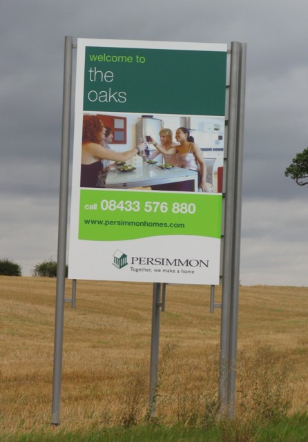
Image: © Andrew Tatlow Taken: 8 Sep 2011
This advertises part of a scheme to fill the fields with lots of houses; this section will be known as "The Oaks".
Images are licensed for reuse under creativecommons.org/licenses/by-sa/2.0
Image Location
Latitude
52.669256
Longitude
-1.075867