Methodist church, Blackskull
Introduction
The photograph on this page of Methodist church, Blackskull by Albert Bridge as part of the Geograph project.
The Geograph project started in 2005 with the aim of publishing, organising and preserving representative images for every square kilometre of Great Britain, Ireland and the Isle of Man.

There are currently over 7.5m images from over 14,400 individuals and you can help contribute to the project by visiting https://www.geograph.org.uk
Methodist church, Blackskull
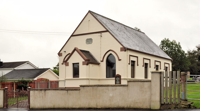
Image: © Albert Bridge Taken: 5 Oct 2011
The Methodist church (and former mission hall), last seen 5½ years ago in Image, on the south western side of the crossroads on the Donaghacloney and Killysorrell Roads. There is a small graveyard – middle right.
Images are licensed for reuse under creativecommons.org/licenses/by-sa/2.0
Image Location
Latitude
54.402423
Longitude
-6.240987