On the path at last
Introduction
The photograph on this page of On the path at last by Graham Horn as part of the Geograph project.
The Geograph project started in 2005 with the aim of publishing, organising and preserving representative images for every square kilometre of Great Britain, Ireland and the Isle of Man.

There are currently over 7.5m images from over 14,400 individuals and you can help contribute to the project by visiting https://www.geograph.org.uk
On the path at last
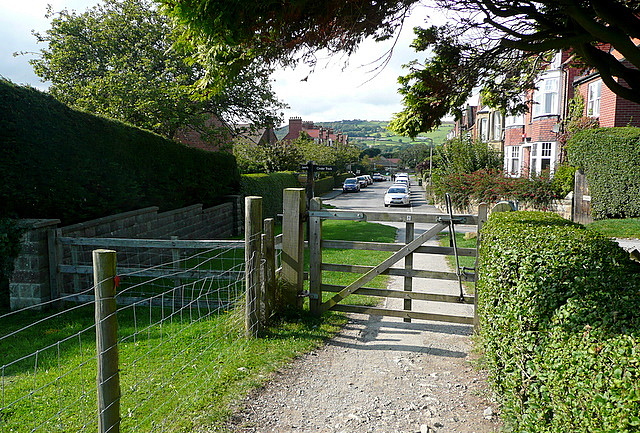
Image: © Graham Horn Taken: 18 Sep 2011
After the climb from Robin Hood's Bay, the coastal path goes along a suburban street, Mount Pleasant North, before reaching this gate. Looking back it is pleasant, for an urban area, but the coastal path awaits.
Images are licensed for reuse under creativecommons.org/licenses/by-sa/2.0
Image Location
Latitude
54.436369
Longitude
-0.533771