Houses on New Road
Introduction
The photograph on this page of Houses on New Road by Graham Horn as part of the Geograph project.
The Geograph project started in 2005 with the aim of publishing, organising and preserving representative images for every square kilometre of Great Britain, Ireland and the Isle of Man.

There are currently over 7.5m images from over 14,400 individuals and you can help contribute to the project by visiting https://www.geograph.org.uk
Houses on New Road
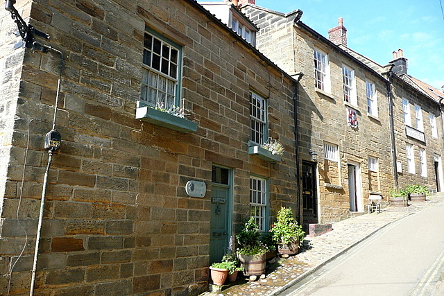
Image: © Graham Horn Taken: 18 Sep 2011
New Road, the main road between the two parts of Robin Hood's Bay, or Bay Town, is steep. The houses here are difficult to photograph, merely because it is almost impossible to work out a level. Getting the hordes of visitors out of the way; that's the easy bit!
Images are licensed for reuse under creativecommons.org/licenses/by-sa/2.0
Image Location
Latitude
54.430427
Longitude
-0.532904