Lerwick: first view of the harbour
Introduction
The photograph on this page of Lerwick: first view of the harbour by Chris Downer as part of the Geograph project.
The Geograph project started in 2005 with the aim of publishing, organising and preserving representative images for every square kilometre of Great Britain, Ireland and the Isle of Man.

There are currently over 7.5m images from over 14,400 individuals and you can help contribute to the project by visiting https://www.geograph.org.uk
Lerwick: first view of the harbour
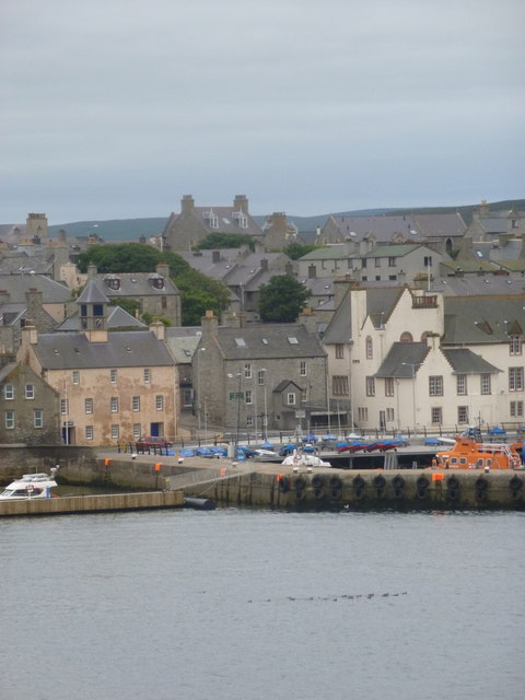
Image: © Chris Downer Taken: 31 Jul 2011
Looking towards town from the Northlink Ferries service from Aberdeen and Kirkwall as it approaches its destination along the Bressay Sound. We pass the southern end of the harbour on the way to the ferry terminal, which is beyond the main town harbour half a mile or so to the north.
Images are licensed for reuse under creativecommons.org/licenses/by-sa/2.0
Image Location


Leaflet Map data © OpenStreetMap
Latitude
60.15331
Longitude
-1.141395