Old stone wall alongside Exton Road
Introduction
The photograph on this page of Old stone wall alongside Exton Road by Marathon as part of the Geograph project.
The Geograph project started in 2005 with the aim of publishing, organising and preserving representative images for every square kilometre of Great Britain, Ireland and the Isle of Man.

There are currently over 7.5m images from over 14,400 individuals and you can help contribute to the project by visiting https://www.geograph.org.uk
Old stone wall alongside Exton Road
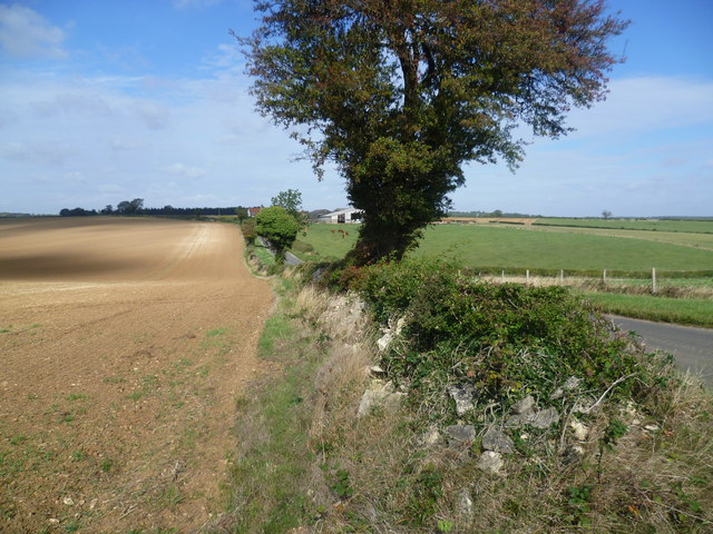
Image: © Marathon Taken: 23 Sep 2011
This old wall is alongside the road from Empingham to Exton just as it dips down and up to Hot Hollow Farm. It is a typical Midlands road of the Enclosures with wide verges and boundary trees. For more about the Enclosure roads see http://www.geograph.org.uk/photo/2444471
Images are licensed for reuse under creativecommons.org/licenses/by-sa/2.0
Image Location


Leaflet Map data © OpenStreetMap
Latitude
52.676779
Longitude
-0.60432