A distant view of Arthur's Seat from Tir-y-groes
Introduction
The photograph on this page of A distant view of Arthur's Seat from Tir-y-groes by Jaggery as part of the Geograph project.
The Geograph project started in 2005 with the aim of publishing, organising and preserving representative images for every square kilometre of Great Britain, Ireland and the Isle of Man.

There are currently over 7.5m images from over 14,400 individuals and you can help contribute to the project by visiting https://www.geograph.org.uk
A distant view of Arthur's Seat from Tir-y-groes
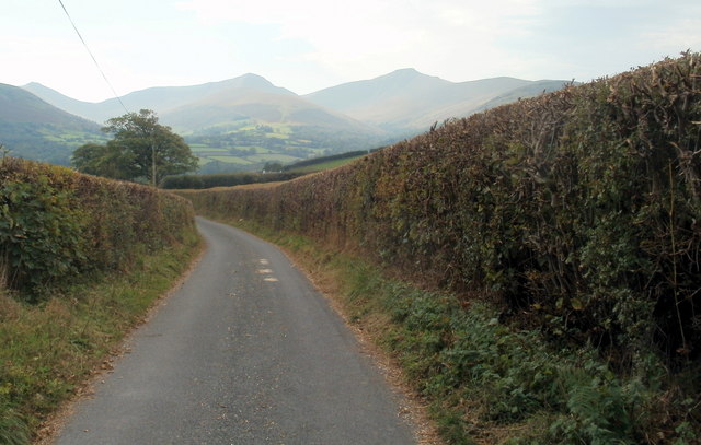
Image: © Jaggery Taken: 2 Oct 2011
A lane heads SSW away from Tir-y-groes. http://www.geograph.org.uk/photo/190735 In the distance are Pen y Fan Image, at 886 metres (2,907 ft) above sea level, the highest peak in South Wales (and southern Britain), located in the Brecon Beacons National Park. The peak of Corn Du Image is 873 metres (2,864 ft) above sea level. The twin summits were formerly referred to as Cadair Arthur or Arthur's Seat.
Images are licensed for reuse under creativecommons.org/licenses/by-sa/2.0
Image Location
Latitude
51.924419
Longitude
-3.379985