Rye/East Sussex, Cinque Ports Street
Introduction
The photograph on this page of Rye/East Sussex, Cinque Ports Street by Helmut Zozmann as part of the Geograph project.
The Geograph project started in 2005 with the aim of publishing, organising and preserving representative images for every square kilometre of Great Britain, Ireland and the Isle of Man.

There are currently over 7.5m images from over 14,400 individuals and you can help contribute to the project by visiting https://www.geograph.org.uk
Rye/East Sussex, Cinque Ports Street
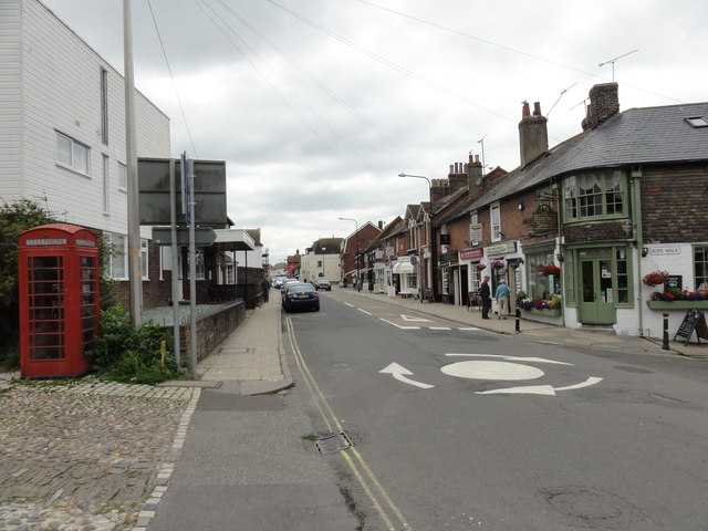
Image: © Helmut Zozmann Taken: 27 Jul 2011
Rye/East Sussex, Cinque Ports Street seen from Tower Street, A268. Rye is a small town in East Sussex, England, which stands approximately 3 km from the open sea and is at the confluence of three rivers: the Rother, the Tillingham and the Brede. In medieval times, however, as an important member of the Cinque Ports confederation, it was at the head of an embayment of the English Channel and almost entirely surrounded by the sea.
Images are licensed for reuse under creativecommons.org/licenses/by-sa/2.0
Image Location
Latitude
50.952104
Longitude
0.733171