Road Junction, Howes Wick
Introduction
The photograph on this page of Road Junction, Howes Wick by John Tustin as part of the Geograph project.
The Geograph project started in 2005 with the aim of publishing, organising and preserving representative images for every square kilometre of Great Britain, Ireland and the Isle of Man.

There are currently over 7.5m images from over 14,400 individuals and you can help contribute to the project by visiting https://www.geograph.org.uk
Road Junction, Howes Wick
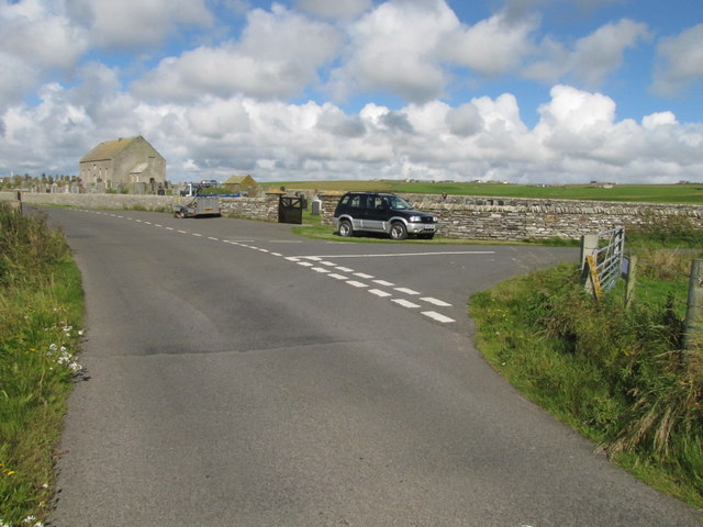
Image: © John Tustin Taken: 11 Aug 2011
St Nicholas' Cemetery ( http://canmore.rcahms.gov.uk/en/site/3045/details/holm+st+nicholas+church/ ) is visible beyond the road junction. The grounds are kept in good and tidy condition.
Images are licensed for reuse under creativecommons.org/licenses/by-sa/2.0
Image Location
Latitude
58.889949
Longitude
-2.849634